


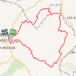


11.2 km | 13.6 km-effort


User


FREE GPS app for hiking
 SityTrail
IGN / Geographical institutes
SityTrail World
The world is yours!
Trail Walking of 10.3 km to be discovered at New Aquitaine, Gironde, Les Lèves-et-Thoumeyragues. This trail is proposed by tracegps.
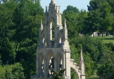
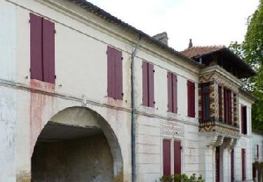
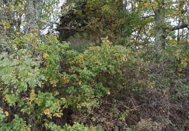
"Le circuit des moulins" qui débute au cimetière de Les Lèves, traverse des vignes, des prés, des châteaux viticoles, principalement sur le village de Les Lèves, en Gironde. De beaux points de vue, de l’air, des paysages dégagés, peu d’ombre, des pigeonniers et des moulins pour cette balade de 10 km. Retrouvez d'autres photos et le descriptif du circuit sur le site de «NatureLN».


Walking
Walking
Walking

Walking
Walking

Nordic walking
Walking
Walking